
Nepal has moved land records for every one of its land revenue offices onto a computer. The survey department has logged more than 600,000 online transactions. And yet a buyer who wants to move a single plot from one name to another still walks into two separate government offices, carrying paper from one to the other, because the two digital systems that run Nepal’s land administration do not talk to each other. Digitization has arrived. A faster transaction has not.
Key Takeaways
- The registration-side system, LRIMS, reached all 118 of Nepal’s land revenue offices by July 2021, up from just 29 offices digitized in 2018.
- The survey side, run through the NeLIS database and the Mero Kitta portal, had recorded 619,441 online transactions by mid-2022, led by 400,283 map (naksa) prints.
- Two offices in the Kathmandu Valley dominated that volume: Kalanki handled 25.1 percent of survey transactions and Lalitpur 16.4 percent.
- The survey system and the registration system are not integrated, so buyers still carry paper documents between the survey office and the land revenue office to complete one transfer.
- Fee payment is now online (connectIPS, eSewa, bank voucher) and document uploads opened in early 2025, but the original lalpurja and citizenship verification still require an in-person visit.
- A 2023 field study in Dhankuta found only 25 percent of users aware of the digitization effort, 41 percent reporting low digital literacy, and 10 percent trusting the security of their data.
- A World Bank-funded project in 2024 and 2025 produced a 10-year roadmap whose central aim is to merge the survey and registration systems into one.
Two systems, two lines, one plot
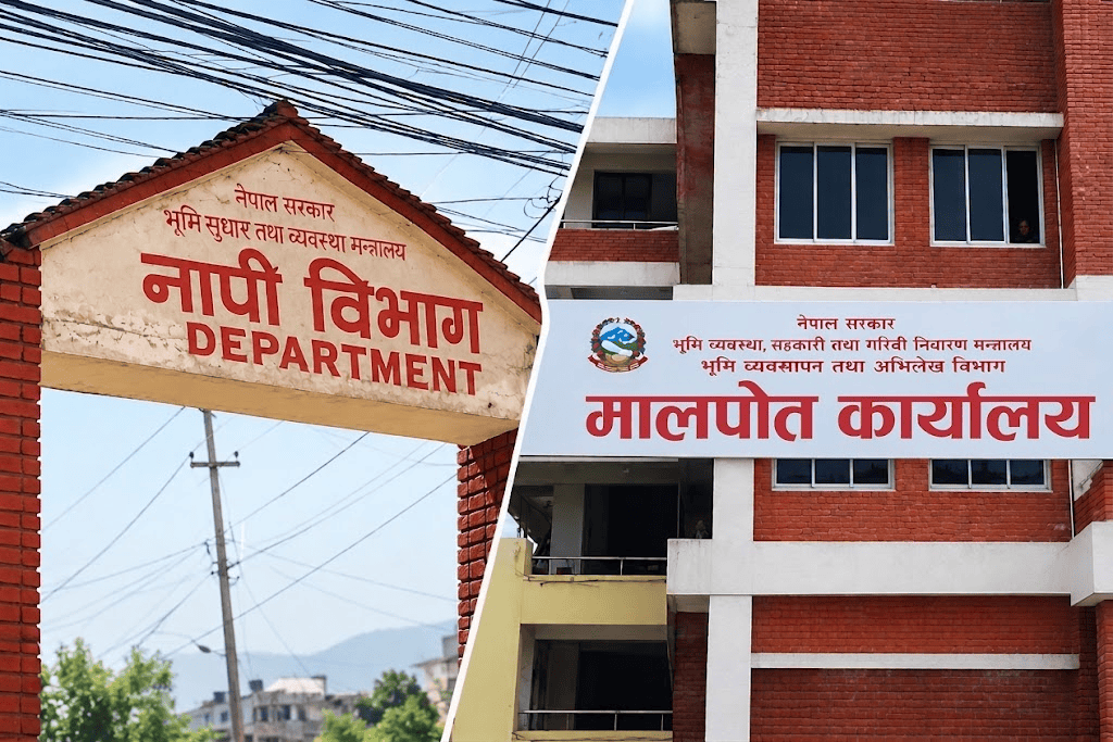
To understand why digital records have not yet produced a digital transaction, you have to see that Nepal runs land administration through two parallel bureaucracies. The Survey Department (Napi) keeps the cadastral map and the field book: where your plot sits, its boundaries, and its kitta number. The Department of Land Management and Archive (DoLMA) runs the land revenue offices (Malpot), which keep the ownership record, the lalpurja, and collect the registration fee and tax when the plot changes hands.
Each side built its own software. The survey side built NeLIS and the Mero Kitta portal. The registration side built the Land Records Information Management System, or LRIMS. Both digitized their own records. Neither was designed to read the other’s database. For a buyer, that means the plot’s map lives in one system and its ownership lives in another, and reconciling the two is still a manual, in-person job. This is the structural fact that shapes everything else about digitization in Nepal.
From Kalanki to nationwide: how the ownership records went digital
The registration side moved first and moved slowly. LRIMS debuted at the Kalanki land revenue office in 2015. By August 2018, according to the Kathmandu Post, digitization was complete at only 29 of the country’s 131 land revenue offices, with the Asian Development Bank supporting 14 of them. Progress was constrained less by technology than by staffing: officials cited shortages of trained staff and frequent transfers as the reason the rollout crawled.
Then it accelerated. By July 2021, the department reported that the online system covered all 118 land revenue offices then in operation, with records from every district stored on a central server in Kathmandu. (The office count itself has shifted over the years as the government restructured districts and offices, which is why the 2018 and 2021 totals differ.) The system assigns each parcel a Parcel Identification Number and each owner a Land-ownership Identification Number, the LIN that now appears on newer ownership certificates. For the mechanics of that certificate, see our guide to Nepal’s Land Revenue Act and the lalpurja.
One early and measurable payoff was on the revenue side. Officers reported higher recovery of capital gains tax once transactions were logged digitally, because a trade that leaves a database record is harder to under-declare than one buried in a paper ledger. That is consistent with a wider problem we have documented in property tax collection leakage, where opaque records let revenue slip. Digitization narrows that gap, and the registration fee stream it protects is substantial: land registration already funds roughly a third of Nepal’s provincial revenue, as covered in our analysis of provincial land revenue.
What the survey side put online, and how much it is used
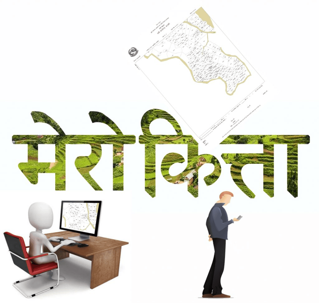
The survey side produced the service most citizens actually touch. Through the Mero Kitta portal, a landowner can request a map print, a field book print, or a plot register print without visiting the survey office: upload a scanned citizenship certificate and ownership document, receive an OTP, pay online or by bank voucher, and download the PDF within days.
The usage numbers show where the real demand sits. By the middle of 2022, the NeLIS system behind Mero Kitta had logged 619,441 transactions. Map prints dominated at 400,283, followed by parcel splits (kitta kat) at 142,998, map updates at 44,435, and merges at 23,093. The most time-consuming transaction, hal sabik (reconciling old and current records), accounted for just 7,660 but took longer on average than all other transaction types combined. The load was also heavily concentrated: the Kalanki office alone generated 25.1 percent of all transactions and Lalitpur another 16.4 percent, a reminder that digital uptake tracks the Kathmandu Valley’s transaction density, not the country’s geography. If you plan to pull your own map, our guide on how to read a napi naksa explains what the print actually tells you.
What you can and cannot do online in 2026
The honest answer is that the paperwork has gone online while the transaction has not. On the online side as of 2026: fee payment runs through the Malpot portal via connectIPS, eSewa, or a bank deposit voucher; document uploads have been accepted for most files since early 2025; the Nagarik App shows a basic encumbrance summary when you enter a parcel number; and free fee and capital-gains calculators let you estimate costs before you start.
Still physical, and therefore still the bottleneck: presenting the original lalpurja for cancellation, verifying citizenship in person, obtaining the official search report at the district land revenue office, and signing the sale deed before a notary or at the Malpot. After the transfer, the new owner still has to register the certificate with the ward office for the annual property tax. In practice, a transfer in 2026 is a hybrid: you pay and upload from home, then you appear in person for the steps that carry legal weight. Before committing to any plot, including a listing on a marketplace like Basobaas, the digital record is worth checking first, but it does not replace the in-person search report.
Why digitization has not sped up the transaction, yet
Three gaps explain the distance between digital records and a digital transaction. The first is integration. Because NeLIS and LRIMS were never linked, a buyer must physically move documents between the survey office and the land revenue office, and an officer must re-verify by hand what both databases already hold. A World Bank-funded project in 2024 and 2025, delivered through the Korea-World Bank Partnership Facility, diagnosed exactly this: survey and registration data sit in separate systems run by separate agencies, with municipalities disconnected from the cadastral data entirely. Its main deliverable was a 10-year roadmap to consolidate them.

The second gap is adoption. A 2023 field study of land offices in Dhankuta, published in the journal Prashasan in 2024, found that only about 25 percent of service recipients were even aware of the digitization initiatives, 41 percent reported low digital literacy, and just 10 percent said they trusted the security of their personal data in the system. Online revenue payment was the best-received feature, with 56.5 percent agreeing it made fees easier to pay, but overall office satisfaction sat at a middling 3.0 on a 5-point scale. A system few people know about and fewer trust cannot deliver its full efficiency gain.
The third gap is data quality. The engineers who studied NeLIS found office-level changes to the database structure, inconsistent ward-number formats, and legacy records that still need reconciliation before a parcel can transact cleanly. Digitizing a flawed paper record produces a flawed digital record. That is the fair counterweight to the optimism: Nepal’s land digitization has genuinely improved transparency and tax recovery, and it has put routine survey services within reach of a phone, but it has not yet shortened the one process that matters most to a buyer or seller, and it will not until the two systems are merged and the records behind them are cleaned.
Frequently Asked Questions
What is LRIMS in Nepal?
LRIMS, the Land Records Information Management System, is the digital system used by Nepal’s land revenue offices (Malpot) under the Department of Land Management and Archive to store ownership records and process registrations, mutations, and freezes. It launched at the Kalanki office in 2015 and reached all 118 land revenue offices by July 2021.
What are Mero Kitta and NeLIS?
NeLIS, the Nepal Land Information System, is the Survey Department’s database of cadastral maps and plot data. Mero Kitta is the public portal built on top of it, letting landowners order a map print, field book, or plot register online and pay the fee digitally. By mid-2022 the system had logged 619,441 transactions, most of them map prints.
Can you buy or register land fully online in Nepal in 2026?
No. As of 2026 you can pay fees, upload most documents, and check a basic encumbrance summary online, but you still have to appear in person to present the original lalpurja, verify citizenship, obtain the official search report, and sign the sale deed. The transaction is a hybrid of online and in-person steps, not a fully digital process.
Why do buyers still visit two different offices?
Because the survey system (NeLIS) and the registration system (LRIMS) were built separately and are not integrated. The plot’s map lives in one database and its ownership record in another, so buyers must carry paper documents between the survey office and the land revenue office to complete a single transfer.
What is a LIN number on a lalpurja?
LIN stands for Land-ownership Identification Number, a unique ID introduced through LRIMS and now printed on newer ownership certificates. Alongside the Parcel Identification Number for each plot, it is part of how the digital system links an owner to a specific parcel and tracks its transaction history.